Showing posts with label oil oil everywhere and not a drop to drink. Show all posts

Thursday, June 10, 2010

Revit and the oil spill

So I decided to take Eddy up on his challenge to model the volume of oil spilled in the Gulf of Mexico by the BP disaster because it was just announced that the actual oil spilled may now be double the original estimates. Reuters says that approximately 2 million barrels may have leaked since the event on April 20.

Oil Spill2 million barrels =
84 million gallons/317 million litres =
415,895 cubic yards/317,975 cubic meters

How big is that? I started to build some masses in Revit to visualize this volume. First, I used an American NFL football field (160’ x 300’ – end zones excluded). The mass would be about 234 feet (71.3 m) tall. I then linked in a model of the Lever House office building (SOM) in New York. If I modeled a mass based on the footprint of the tower, the oil spill volume would be almost 1,400 feet (426 m) tall!

Here’s a link to download a 3D DWF file of this model to explore the scope of this disaster on your own.

Wednesday, June 2, 2010

Try modeling THAT!

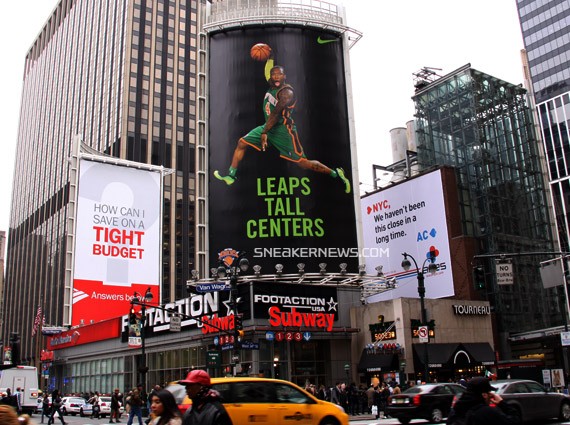
For those of you tracking the oil spill in the Gulf, someone (my wife) forwarded me a handy little tool that will help you gain some perspective on the whole issue. I know everyone talks about millions of gallons of goo but it's all kinda hard to put into perspective when you have that much goo and it's covering so much area. I know Phil did some quick calculations to figure out that OTD (Oil to Date) is a football field 80' deep. But even still. If you're a designer, you can probably conceptualize 80' in height. But that's still a challenge. 80' is like this billboard. But without a dude in sneaks, it's still kinda hard to get and that's before you add volume to the conceptualization.

Volume makes things harder to comprehend mainly because 51% of the industry is still using CAD. So, a football field (l x w) x 80' deep is something that you could make with the Revit massing tool, but even when you zoom out, it looks small.

But what does this and OtD really mean to you? Well, for me, it would mean that if it were a cloud, it would cover enough area from Lawrence, KS to Columbia, MO. Which is somewhere in the neighborhood of a LOT. Check it. You can enter your own city and see what kind of colossal damage it's creating. Now the next question is how much of a carbon offset would you need to eradicate this mess? How many of us over how many days would need to walk to work, not turn on all the lights in the house, video conference in lieu of flying, hug a tree, etc to make up for this?